Remote sensing studies for mineral exploration
Hydrothermal alteration, lithology and structure mapped from satellite data, then ranked into targets a field team can walk to. It is the fastest way to see a whole license, and the best way to spend the field budget well.
Why we start in orbit
Most licenses in Pakistan are large, remote and steep. A field crew can map a few square kilometers a day; a satellite scene covers the entire license, and the archive goes back decades. Ore-forming fluids change the rocks they pass through, and the minerals they leave behind (clays, micas, alunite, chlorite, carbonates and iron oxides) absorb sunlight at wavelengths that satellites record.
Reading those absorptions tells us where the alteration is, what kind it is, and how it is zoned. Zoning is what matters: a porphyry system shows an argillic core, a phyllic halo and a propylitic fringe, and the pattern points to where the intrusion sits.
- Coverage
- Whole licensein one scene
- Access
- No permitsno security escort
- Output
- Ranked targetswith field coordinates
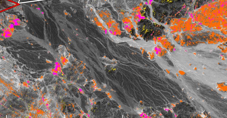
One license, three products
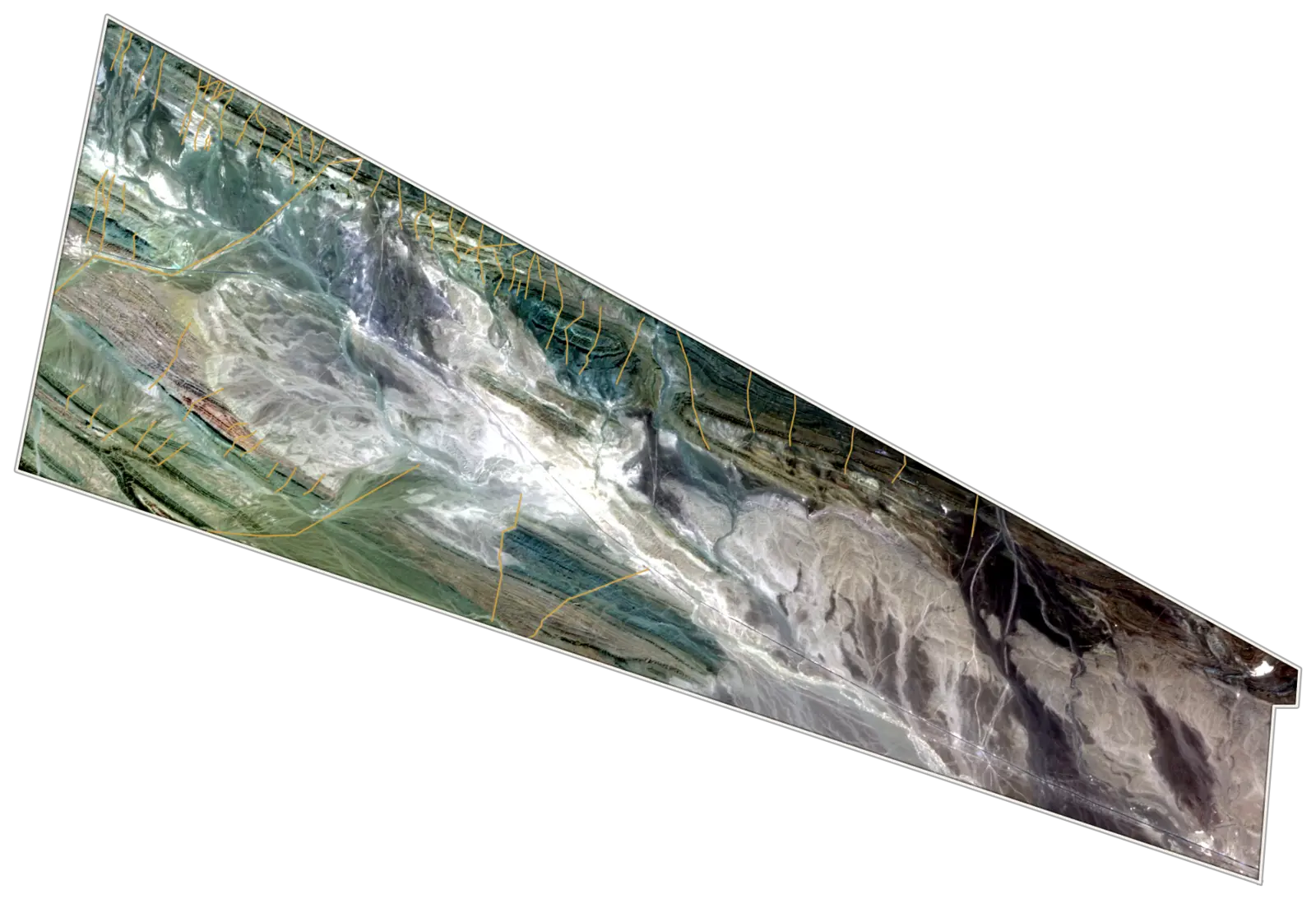
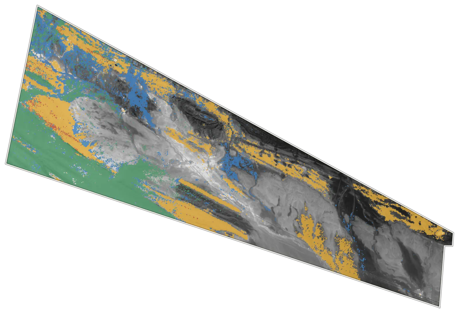
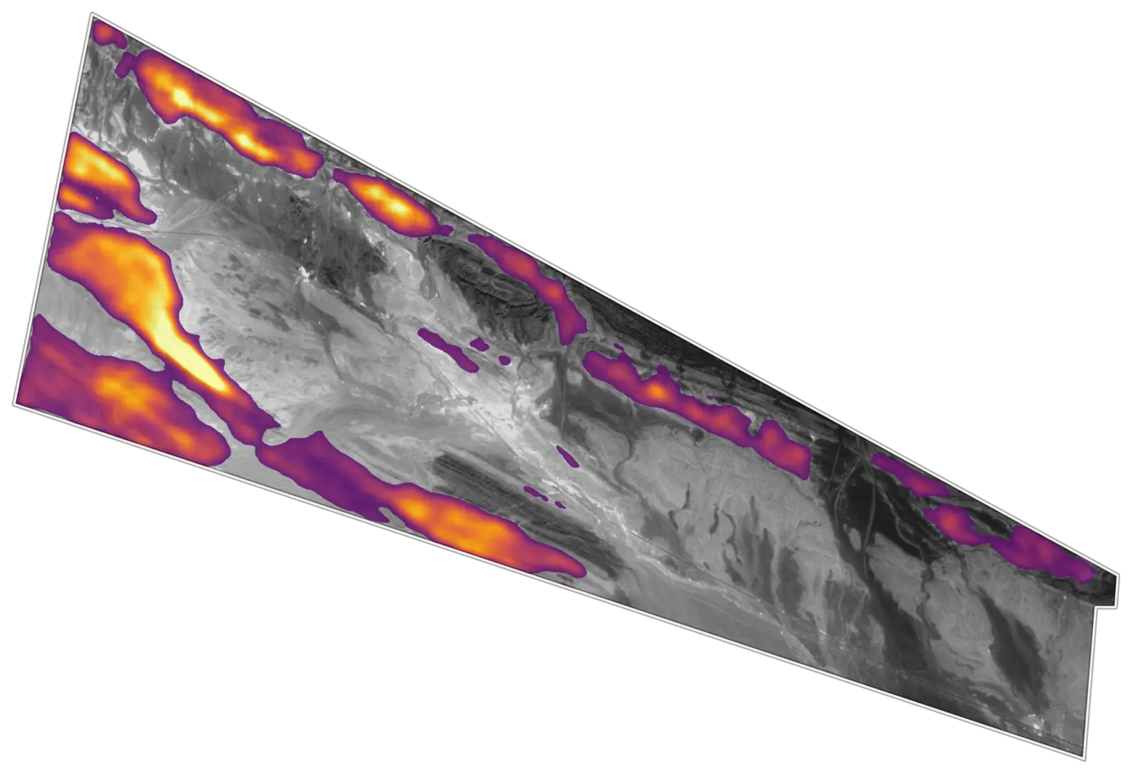
A desert porphyry license taken from satellite imagery to a ranked score. Each product feeds the next, and only ground that several layers agree on goes to the field.
Imagery and faults
- Interpreted fault or lineament
- License boundary
Dominant mineral group
- White mica and clays
- Chlorite and epidote
- Carbonate
- Mixed
Target score, upper quartile
Imagery and faults. Natural-color satellite image with faults and lineaments interpreted from imagery and terrain.
Mineral groups. Dominant alteration and rock-forming minerals mapped from hyperspectral data, over a grayscale base.
Target score. Mineral, iron-oxide and structural layers weighted into one score. Brighter ground ranks first for follow-up.
Methods
No single technique is enough. We run several, and only trust a target that more than one of them points to.
Band ratios and mineral indices
Iron-oxide, clay, Al-OH, Mg-OH and carbonate indices, thresholded consistently so results compare across a district.
Principal components
Directed principal component analysis (the Crósta technique) isolates hydroxyl and iron-oxide signals from the brightness of the rocks around them.
Spectral matching
Pixel spectra matched against reference spectral libraries and our own field spectra.
Hyperspectral mineral maps
Imaging spectrometers tell kaolinite, alunite, sericite, chlorite and carbonate apart, so argillic, phyllic and propylitic zones separate.
Structure and lineaments
Hillshades and drainage analysis on elevation models, tied to fault and contact mapping in the field.
Vegetation and masking
In forested ranges, vegetation stress stands in for the rock we cannot see. Elsewhere we mask snow, glacier, shadow, water and young alluvium first.
How a study runs
From the first scene to the field check, a study of a single license typically takes a few weeks.
Scenes and corrections
Cloud- and snow-free scenes chosen, corrected and brought onto one grid.
Masking
Vegetation, snow, water, shadow and alluvium removed so they cannot pose as anomalies.
Mineral mapping
Ratios, indices, PCA and spectral matching run in parallel, then compared.
Integration and ranking
Alteration, structure, known occurrences and access scored into a ranked target list.
Field check and report
Targets verified with mapping, sampling and pXRF; the report is written for owners and regulators.
From the archive
Different deposit types, different terrain, same discipline. Names and coordinates are withheld for our clients.
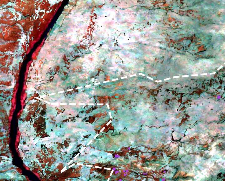
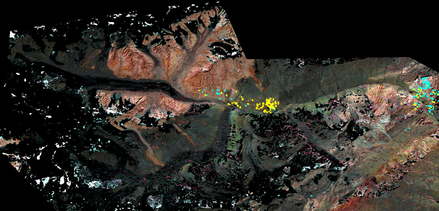
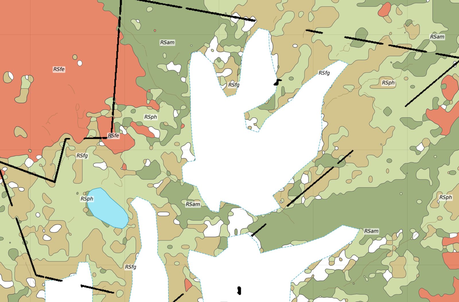
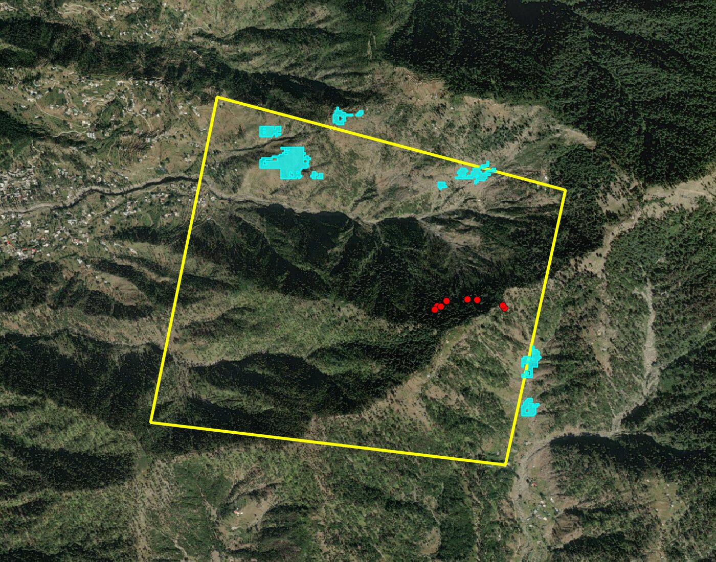
What you receive
- Alteration and lithology maps at print quality, with legends and scale
- A ranked target table with coordinates and the reason for each rank
- KMZ files that open on a field geologist's phone
- GeoTIFF layers for your GIS or for dbmine
- A field verification plan: routes, samples and checks per target
- A report chapter written to support department submissions, including area extensions
What satellites cannot do
Remote sensing sees the top few microns of the surface. Alluvium, snow, scree and vegetation hide what is underneath, and a strong anomaly can be weathered barren rock. That is why every study ends in the field, and why we say so in the report. Targets are a reason to go and look, not a resource.
| Deposit type | What we look for |
|---|---|
| Porphyry Cu-Au | Argillic core, phyllic halo, propylitic fringe, iron-oxide caps |
| Skarn and greisen W-Cu | Carbonate contacts, calc-silicates, muscovite and tourmaline |
| Placer gold | Terraces, bars and drainage below known sources |
| Barite | Host carbonates and the structures that trap it |
| Chromite | Serpentinised ultramafics (Mg-OH) in ophiolite belts |
Send us a license outline.
A KML, a coordinate list from the department letter, or just the license number. We will tell you what the satellites can show and what a study would cost.